

Below average temperatures expected around Middle Georgia this weekend
MACON, Georgia (41NBC/WMGT) – A pair of cold fronts will bring a pleasant drop in temperatures as well as strong winds over the weekend.
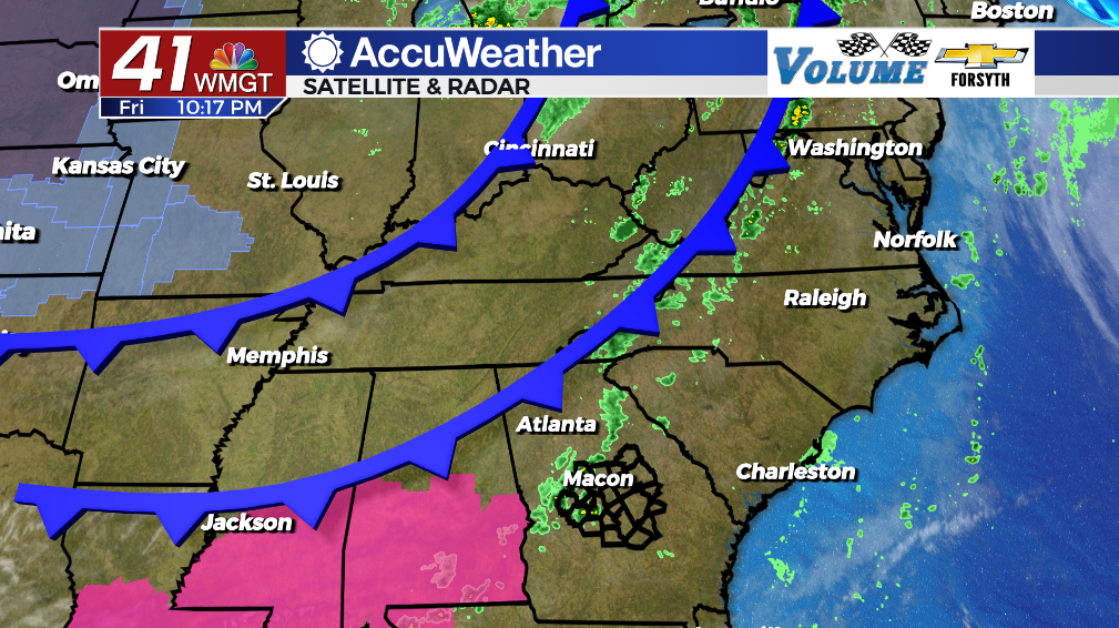
Tonight
Cloud cover from the daylight hours will work to clear overnight. However, a few small showers will be possible throughout the night as the first cold front moves through. The window for rain will end around 2 am in Macon, however locations further southeast like Dublin could see the possibility for small showers until 4 or 5 am. Temperatures will bottom out in the upper 50s into the mid 60s with the warmest spots expected in the southeastern counties of the region. Expect wind to increase overnight as well as it shifts to the north-northwest at about 5-10 mph. Gusts by tomorrow morning could already reach upwards of 20 mph.
This Weekend and Beyond
Saturday will see an abundance of sunshine with the exception of the early morning hours where a few clouds may linger from overnight. Temperatures will peak in the mid to upper 70s around the region with wind from the north-northwest coming in at 10-20 mph. Gusts could reach as high as 30 mph. Overnight skies will remain clear with the wind backing off some, however gusts could still push 20 mph through the night. Temperatures will bottom out in the mid 40s with chills in the lower 40s (and potentially upper 30s).


Sunday will be calmer but cooler as highs only reach the lower 70s with ambient winds remaining from the north-northwest. It will be cold overnight into Monday morning as well with low temperatures falling into the low to mid 40s.
Next week will begin on a sunny note with temperatures working to rebound until clouds fill in Tuesday and Wednesday. Rain chances could elevate a bit late next week as well, bringing some relief to growing drought conditions.

Follow Meteorologist Aaron Lowery on Facebook (Aaron Lowery 41NBC) and Twitter (@ALowWX) for weather updates throughout the day. Also, you can watch his forecasts Monday through Friday on 41NBC News at Daybreak (5-7 a.m.) and 41Today (11 a.m).