Rain back in the forecast Friday
MACON, Georgia (41NBC/WMGT) – An incoming cold/stationary front will bring increased rain odds starting Friday.
This Evening


Cloud cover will continue to ramp up overnight ahead of tomorrow’s frontal arrival. Temperatures will drop into the mid 50s for most of the region with winds remaining out of the southwest around 5 mph.
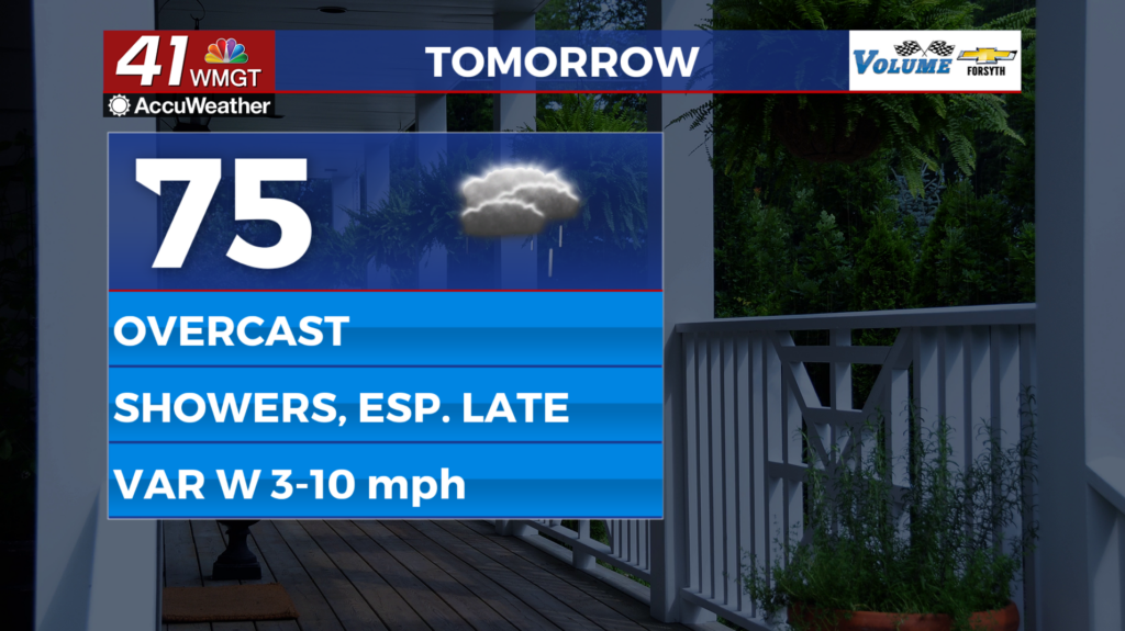
Tomorrow


It will be overcast for Friday with temperatures climbing into the mid to upper 70s. Winds will pick up a bit as they shift from the southwest to the northwest throughout the day, reaching speeds of up to 10 mph with gusts pushing over 15.


Shower activity is likely to begin during the lunchtime hours. Misting will be possible along with small and light showers that will become more widespread in the evening. 


Rain is likely to continue overnight in the form of scattered off and on showers, especially as Saturday morning approaches. Temperatures will drop into the mid 50s once again with winds shifting from the northwest to the northeast at around 5-10 mph. Gusts could reach upwards of 20 mph heading towards Saturday morning as well.
The Weekend and Beyond


Saturday will have its fair share of rain as off and on showers are likely throughout the day. Some showers could be rather large, however thunderstorm activity is not expected at this time. Highs Saturday will reach the low to mid 60s with Sunday’s highs only reaching into the 50s. More rain is possible Sunday as well, both afternoons will see northeasterly winds that range from 10-15 mph. Cloudy conditions are likely to carry into next week, however Monday could see a bit of sun come through.

Follow Meteorologist Aaron Lowery on Facebook (Aaron Lowery 41NBC) and Twitter (@ALowWX) for weather updates throughout the day. Also, you can watch his forecasts Monday through Friday on 41NBC News at 4, 5, 5:30, 6, and 11 PM.